The Gates of Haast
We were up early this morning and on our way by 8am to try to avoid the 300mm of rain predicted for Haast this evening.
Leaving Wanaka on SH6, the first thing you notice is that the road is narrower and without shoulders. It is also peppered with single lane bridges and has very few passing lanes.
Again we were overawed by the scenery, which included some very brooding mountains at the start of the day. For the first half hour or so we roller-coastered beside a cliff with Lake Hawea on our right. Just as we got to the top of the lake we took a right hand bend and had Lake Wanaka on our left for the next half hour.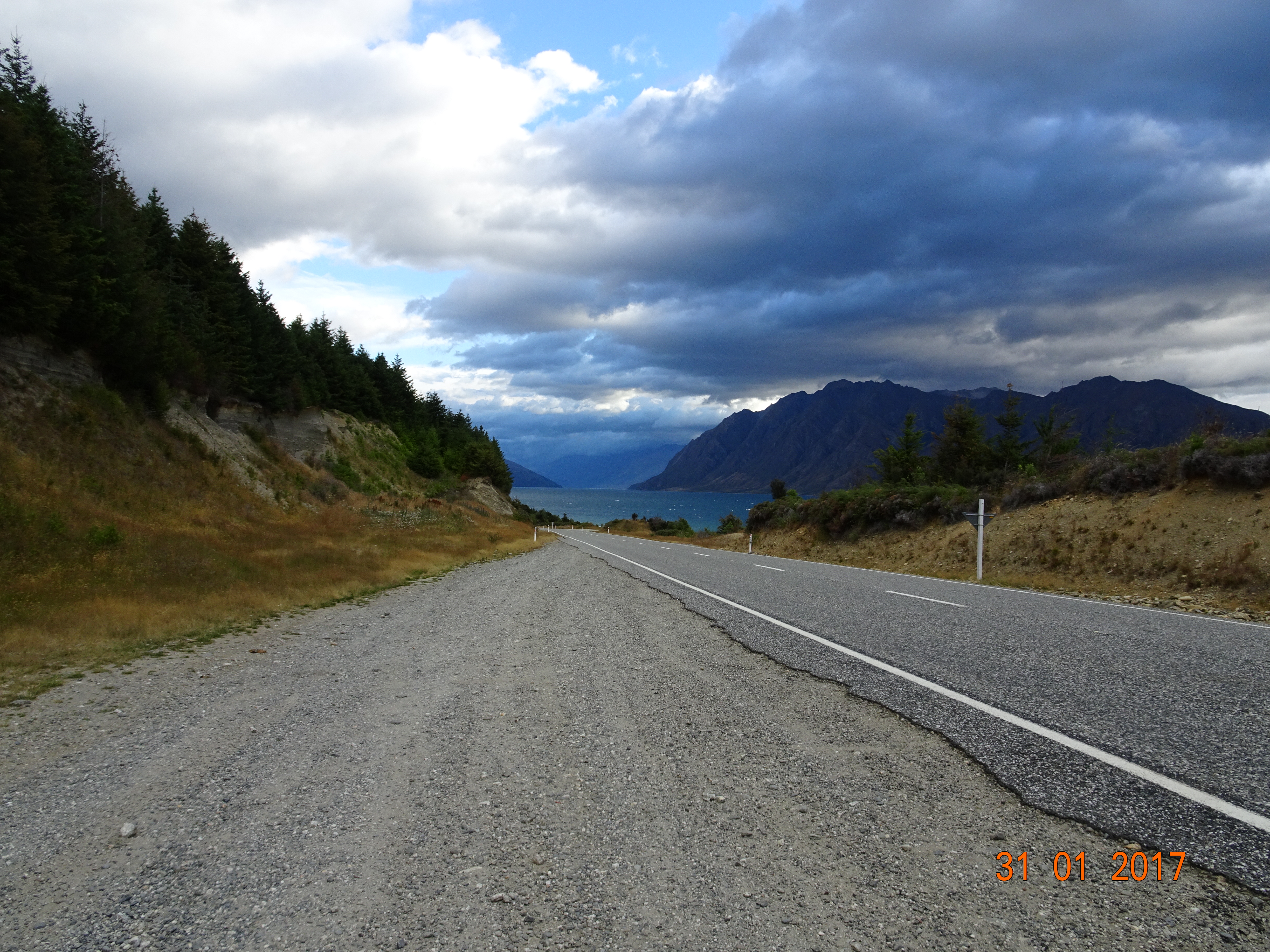
By this time the rain had set in and the mountains were shrouded in cloud. We stopped at the Makarora Country Club – basically, a petrol station with café and camping – for a coffee and snack before pressing on into Westland.
Shortly afterwards we came to a sign saying “Gates of Haast” just before a single lane bridge with a latticework of girders closing the road in. It felt like something out of a horror movie! There were even gates for closing the road in bad weather and frequent cattle grids – known as cattle stops out here. This was the Haast Pass, the route from Wanaka to the West Coast. It is noted for its spectacular scenery, but we couldn’t see anything, even on the odd occasion when we stopped somewhere. The exception was when we saw two waterfalls literally hanging in mid-air. The mountain they were flowing down was hidden by cloud and practically invisible.
Towards the end of the Pass the vegetation started to become quite tropical; from here north is the rain forest. The road straightened out, in both dimensions, so we made it fast past Haast (try saying that quickly when you’ve had a few!), which was welcome because our average speed for the morning had been about 45kph. The road runs beside the Tasman Sea for a while, but then it turns back inland and starts twisting and turning again.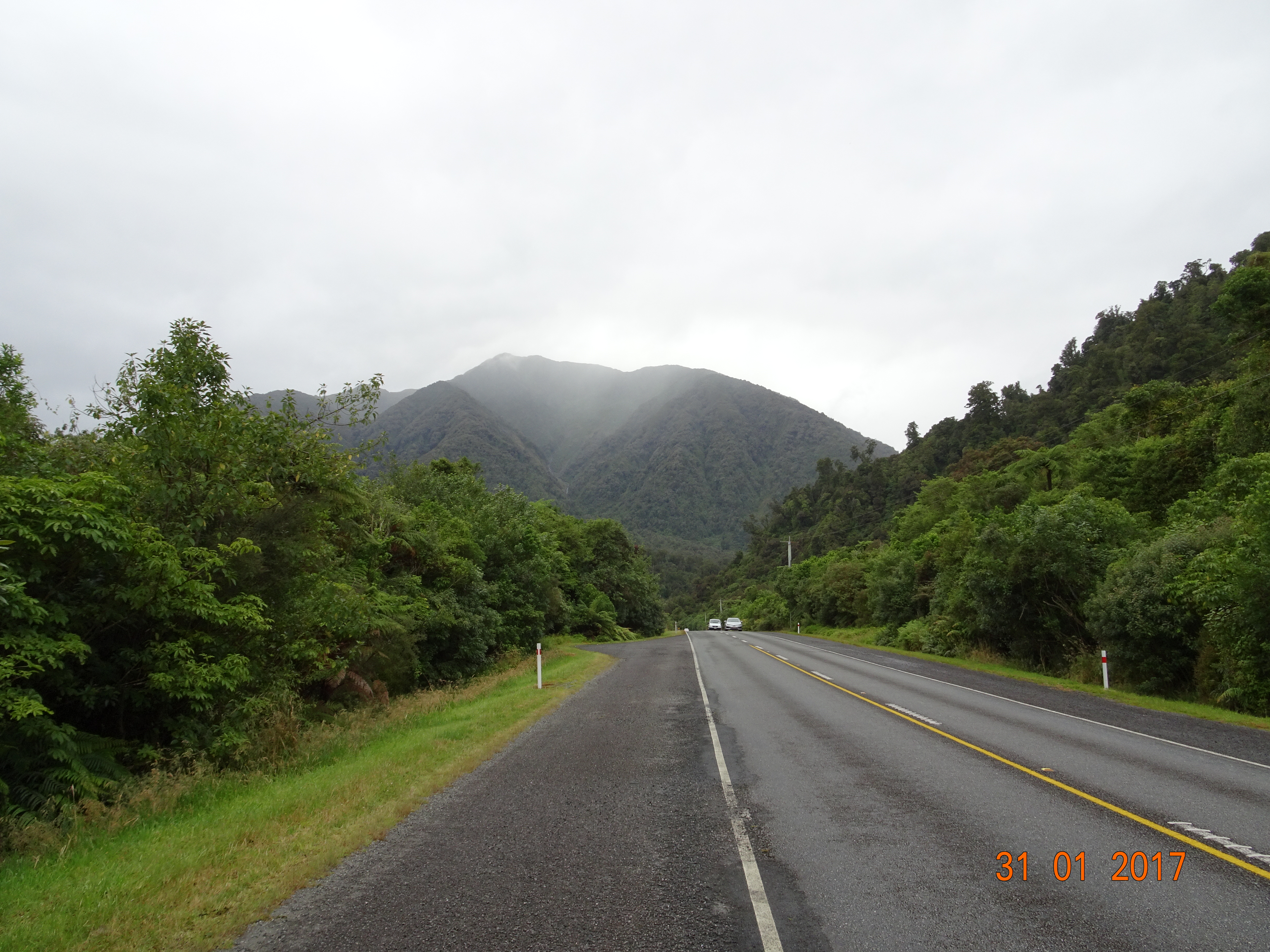
Still, we made good progress and when we came to Fox Glacier we decided to divert to the viewing point. There’s a 4km track leading to a gravel road car park from where you can just get a sight of the glacier. It’s another 1km walk to get to the glacier itself, but as there was a weather warning we decided to give it a miss.
The final part of our journey was the most challenging of the day. The road between Fox and Franz Josef Glaciers winds up and down for about 25km. However, we made it safely through and we are now sitting in a snug site in the rainforest – where it is raining heavily.

Loving the blog! Glad Ermintrude is treating you well and you’ve managed to avoid most of the tour busses. One request – post some larger pictures so we can see the views 🙂
LikeLike
Glad you’re enjoying the blog. I’ve changed the pics in this post to link to the originals – just click on the photo and you’ll see. I’ll go back and do the earlier posts and try and remember to do the same for new ones too.
LikeLike