Back home

Back homeMap

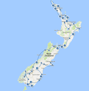
We spent our last full day lazing around in the sun and asking each other what day it was.  The following morning, we had to tend to Ermintrude.  We filled her up with diesel, gas and fresh water, then emptied her grey and black water.  We also emptied her storage lockers and filled our suitcases.

Chores done, we got the loungers out and checked that they were still comfortable in the sunshine.  We had to leave for the airport at 2:30, so we had our lunch, threw away all the leftover food and checked the loungers again.  We were just getting ourselves ready to go when the rental company phoned.  Their flight to Auckland was cancelled, so the guy meeting us had to take the bus instead and wouldn’t be there before 7pm.

This suited us because we couldn’t check in for our flight until 8pm, so we had all afternoon to check out the loungers.  Except that we’d just thrown away all our remaining food!

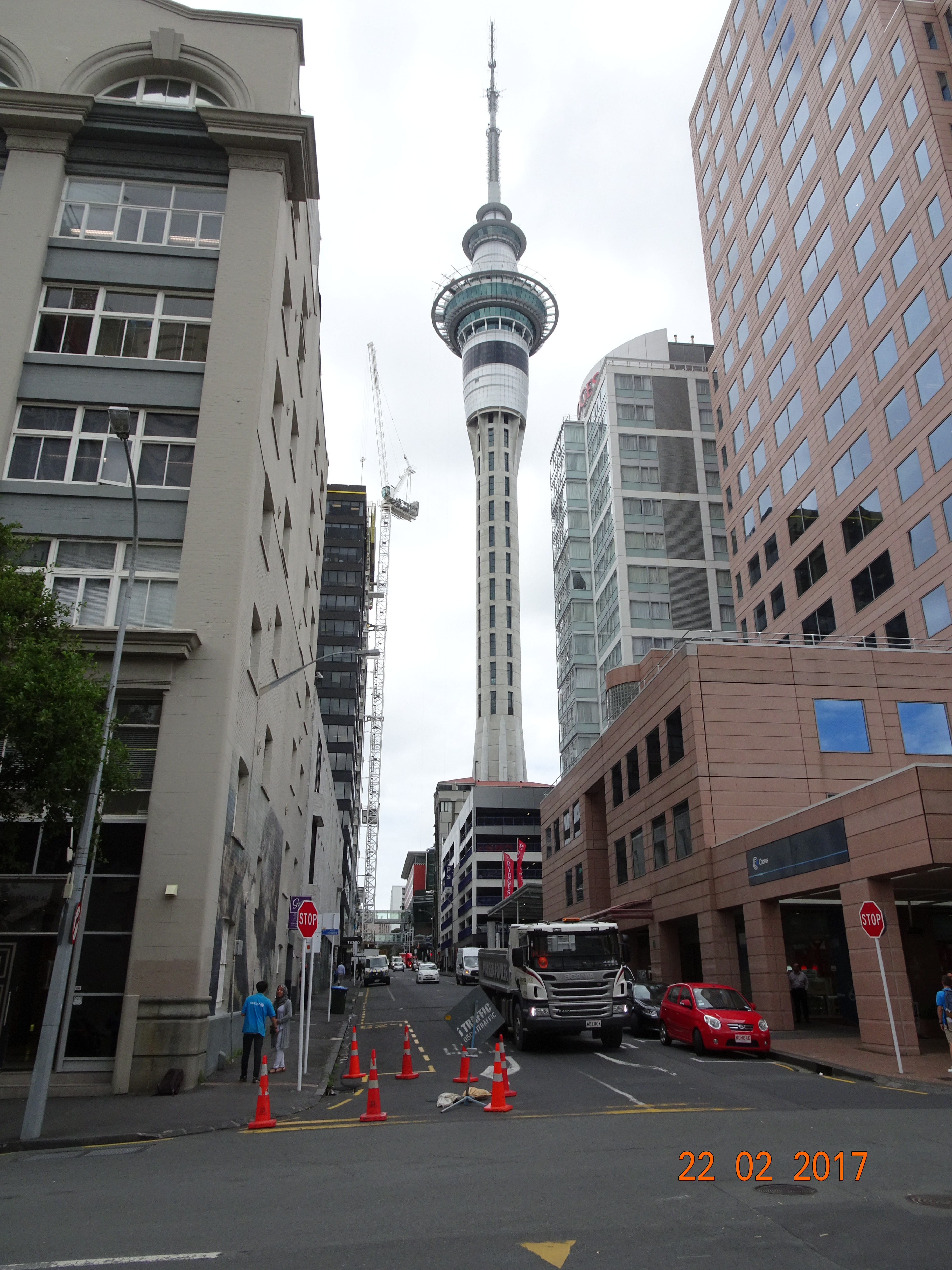
The rental company had arranged for us to leave Ermintrude at the valet parking.  We set off around 6pm expecting loads of traffic, but were there in about 45 minutes.  We said farewell to Ermintrude and were dropped off at the international terminal.

Our flight to Singapore was with Air New Zealand, and Auckland was our best business class check-in experience ever.  They have a separate hall that’s the size of a large conference room.  You don’t queue for an agent; the agents queue at the door to whisk you to their station and sit you down and have a chat while they check you in.

Then we were through security and into the lounge to wait for our 1:15am flight.

By contrast with their check-in, Air NZ have the worst business class seats ever.  They are individual pods set diagonally in the aircraft, everything made of bright white materials; you need sunglasses to protect your eyes.  The seat is slightly offset in the pod, so I kept banging my elbow against the side wall – and I’m not that large!  There’s little storage and it was very difficult to get comfortable in the seat, even if you use your individual footstool.  When the cabin lights are dimmed it’s impossible to read as your shadow is directly in front of you.

The beds are comfortable enough, but you need to get the cabin crew to make and unmake them, and even they struggled.  We were glad that the second leg was with Air Singapore.  And the second leg was very long, over 14 hours.

In fact, they managed to land 30 minutes early, and we were through immigration very quickly.  Unfortunately, they couldn’t get the hold door open, so by the time our bags came through we’d lost those 30 minutes.

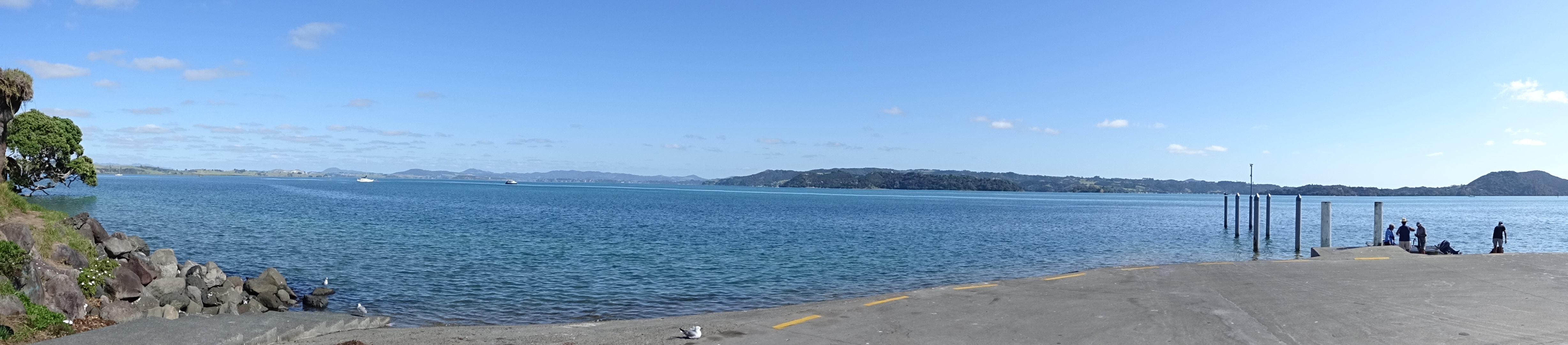
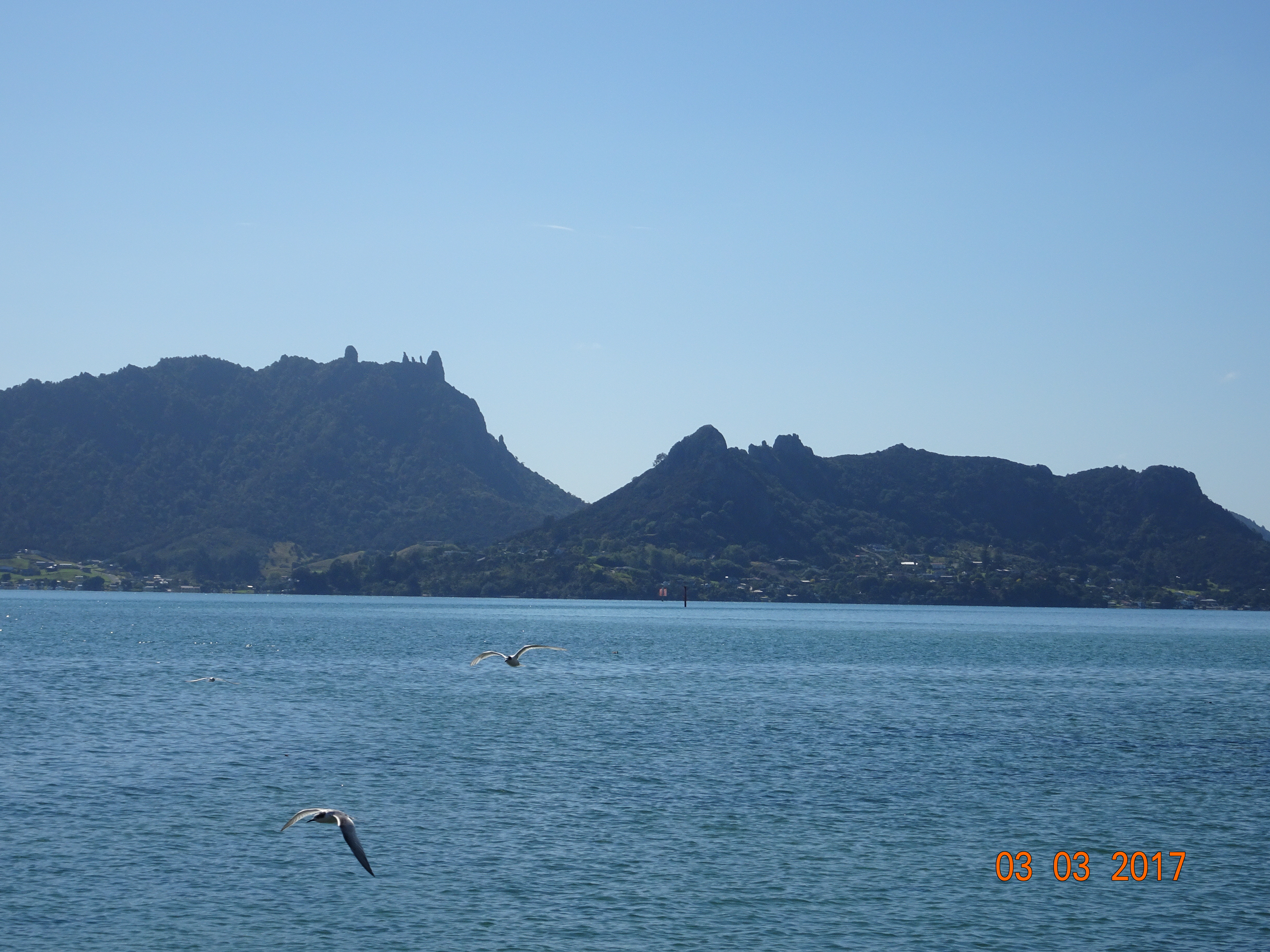
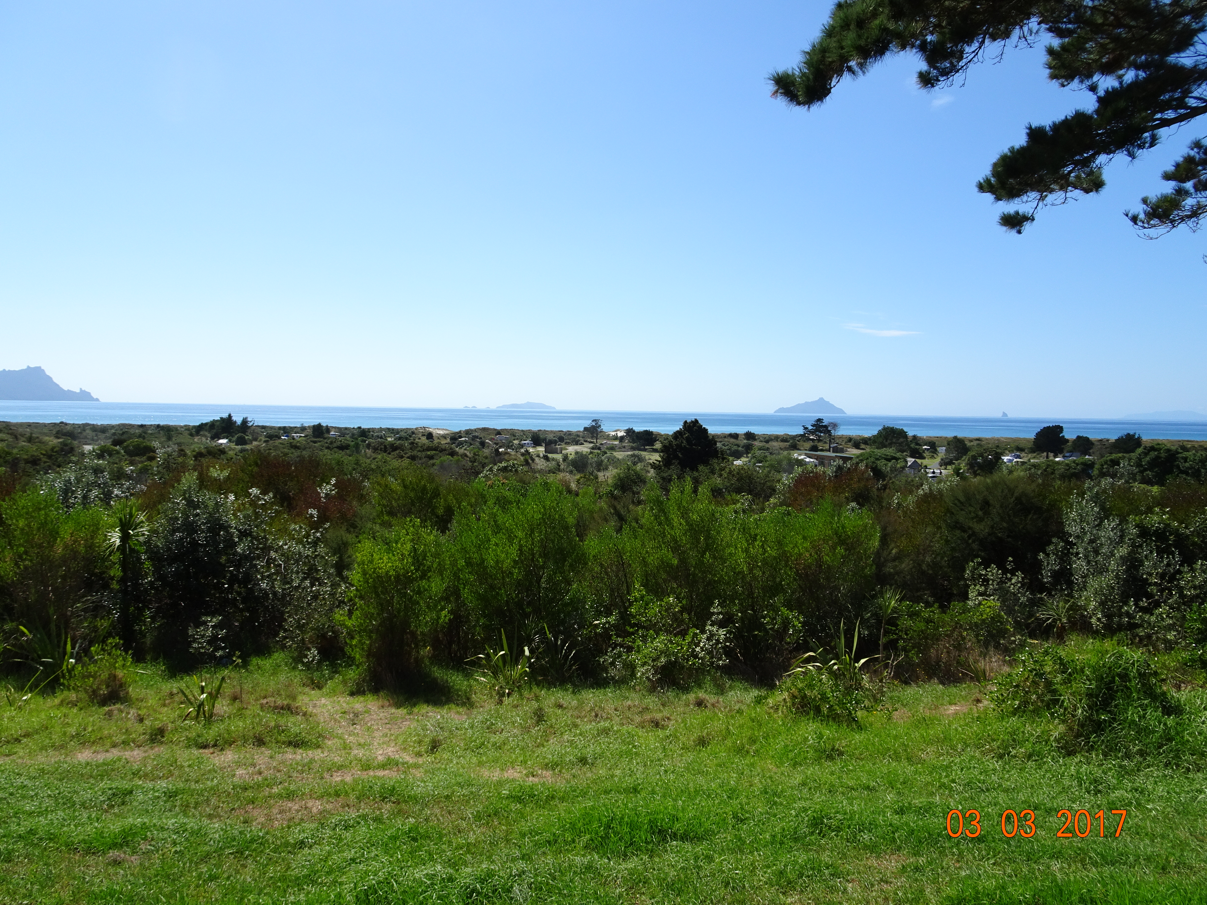
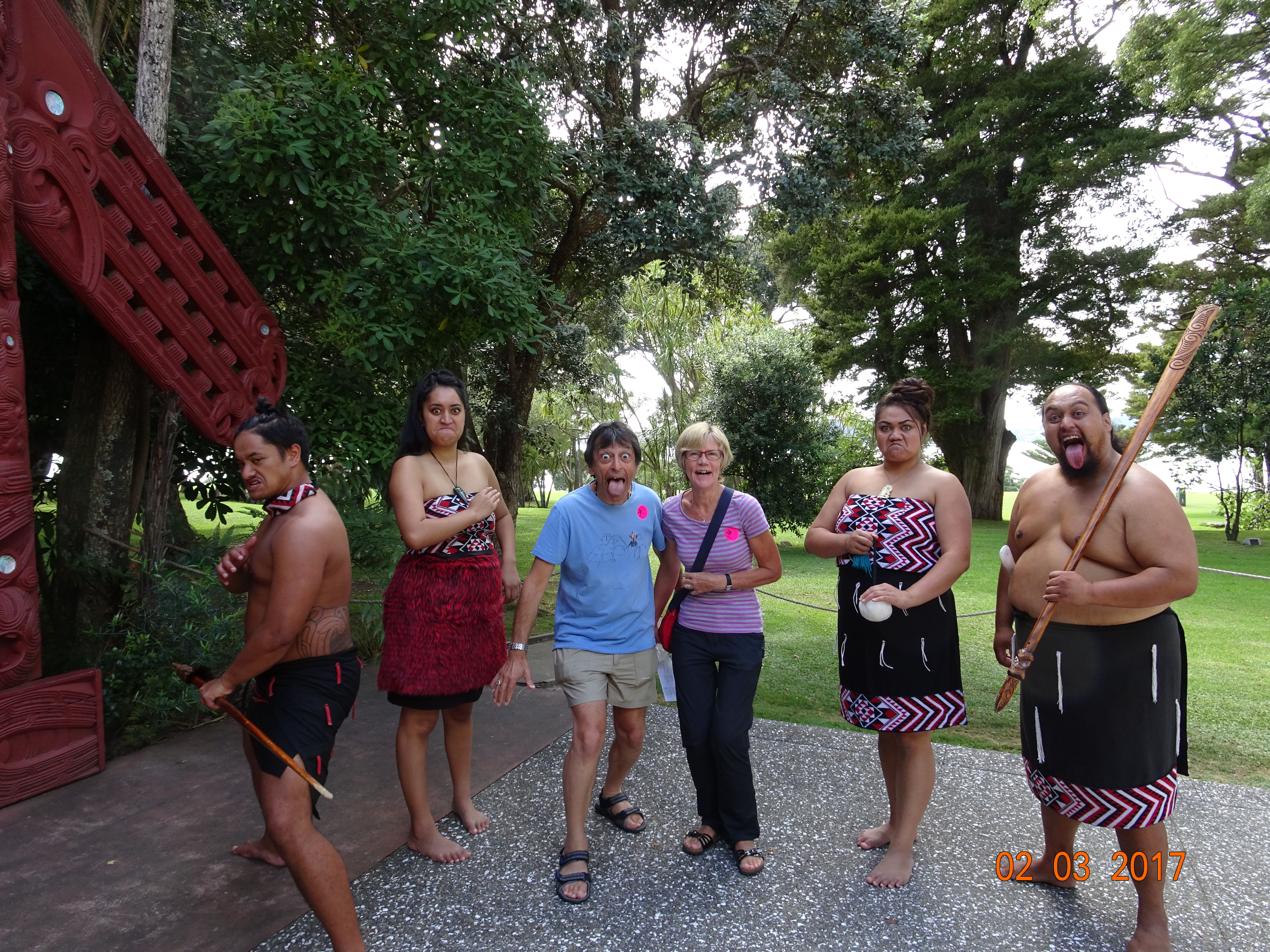
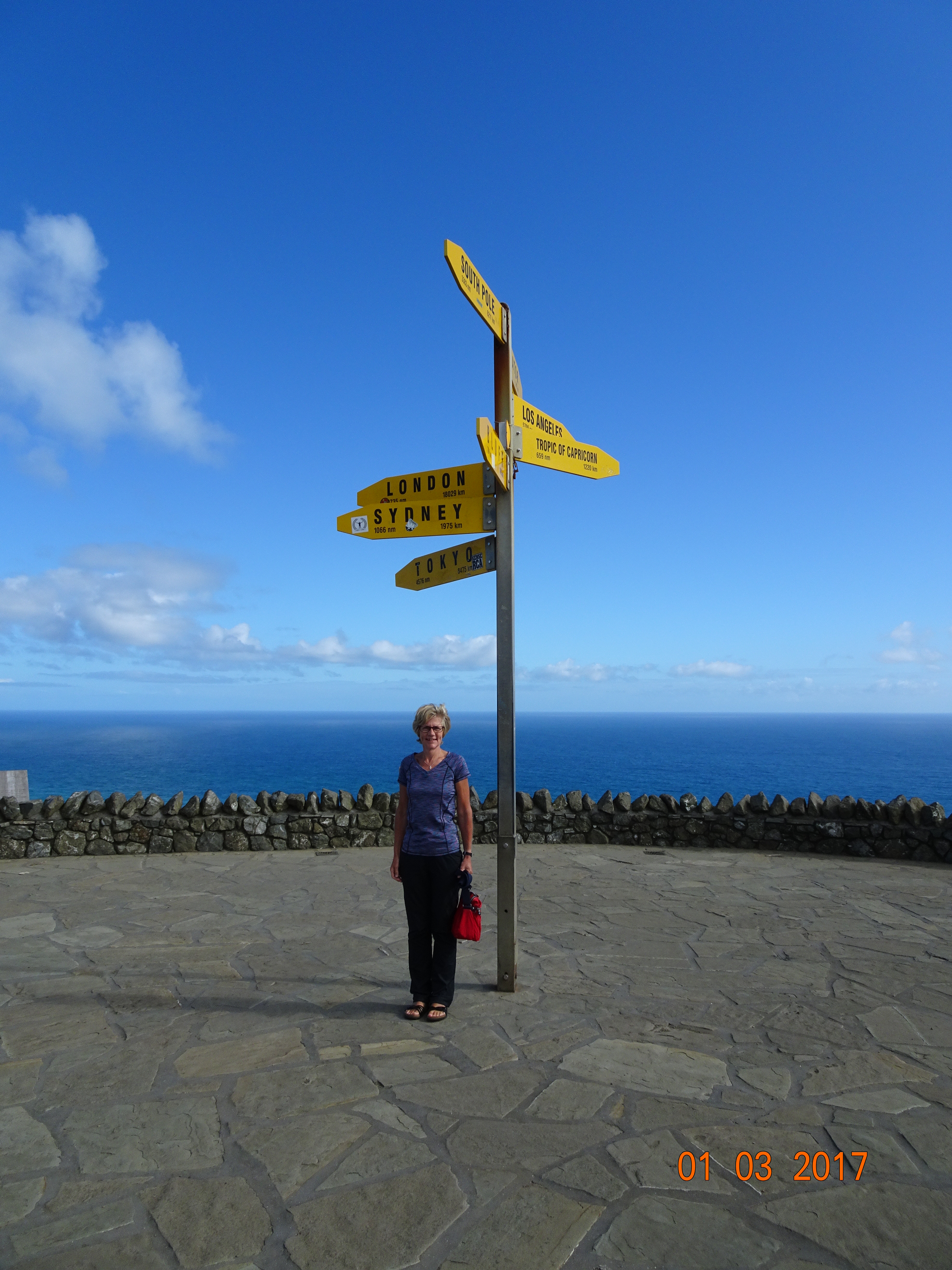
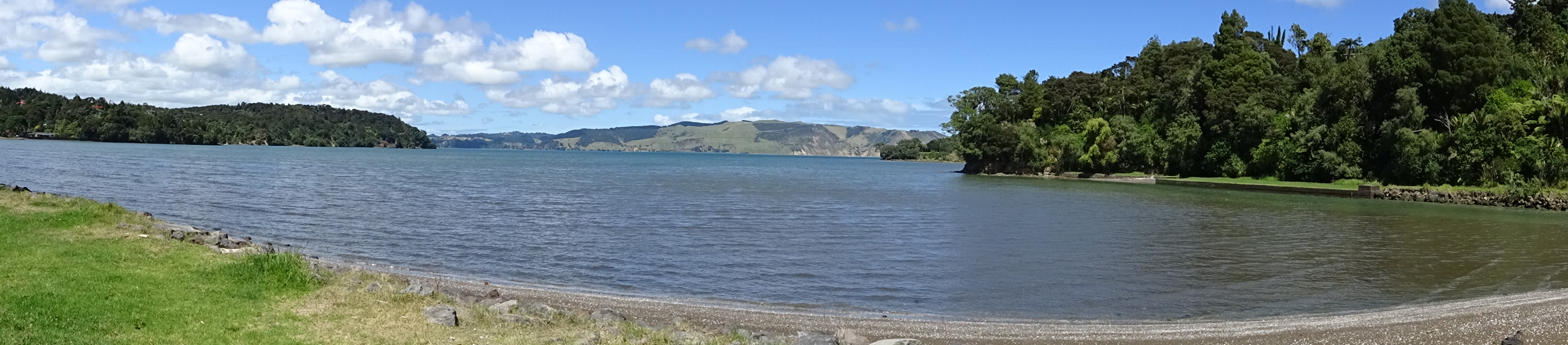
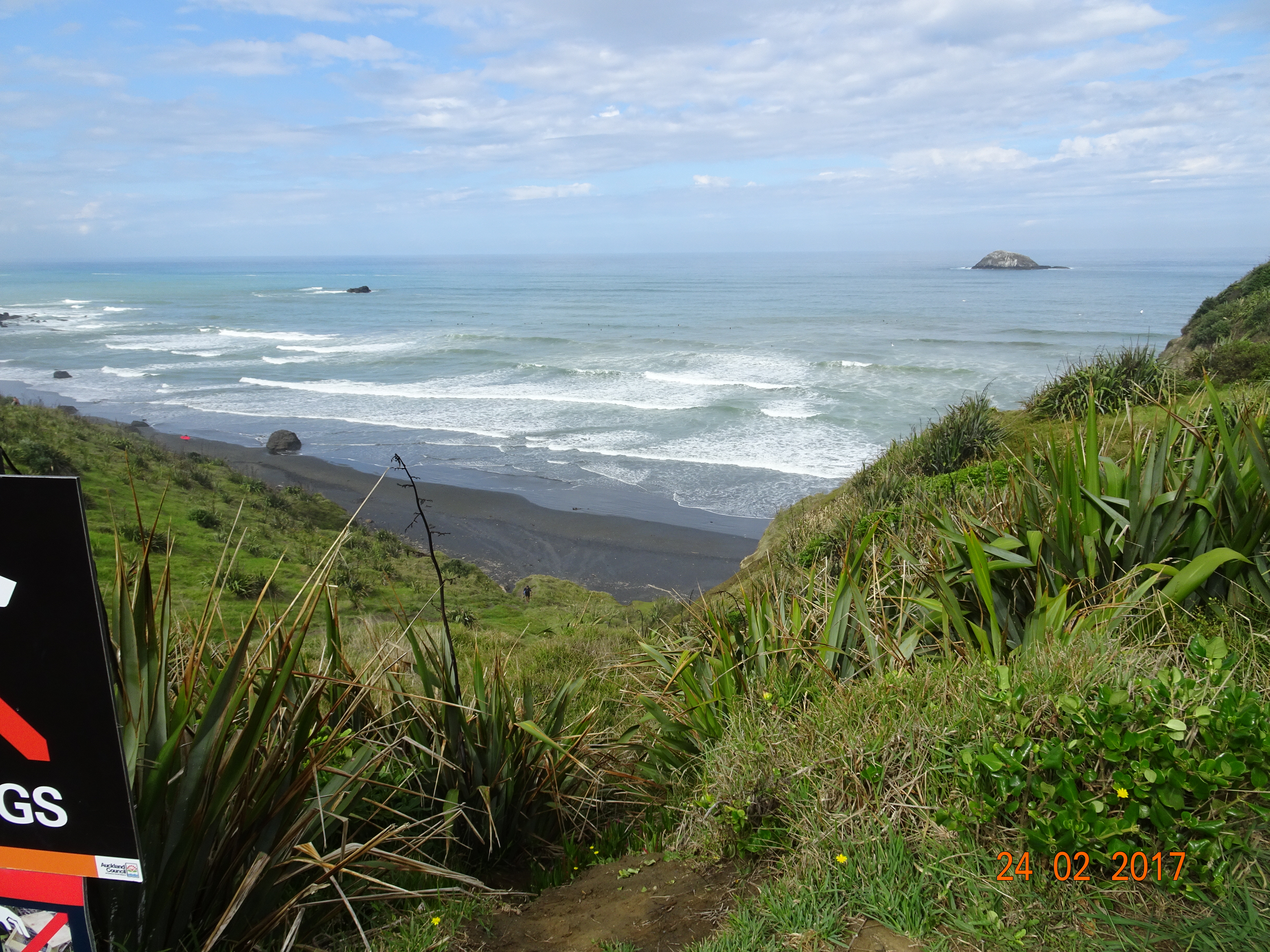
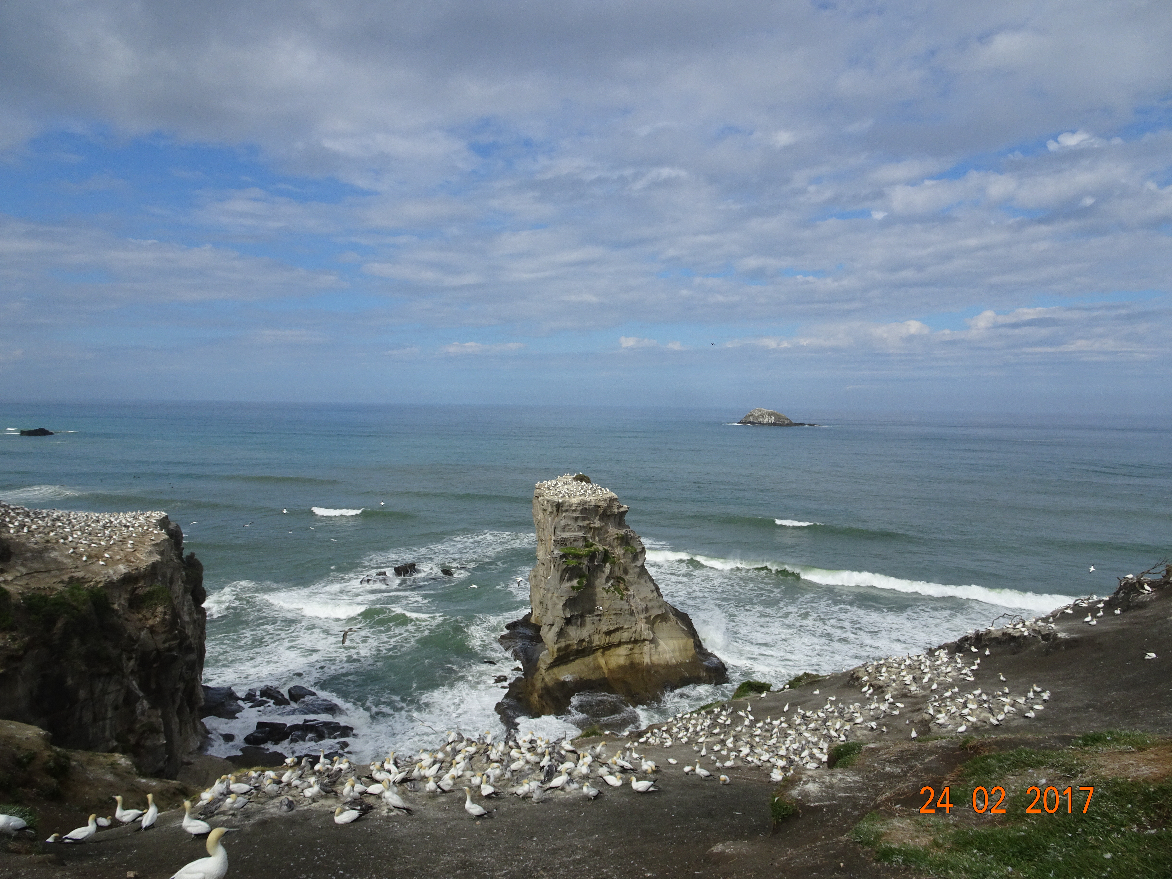
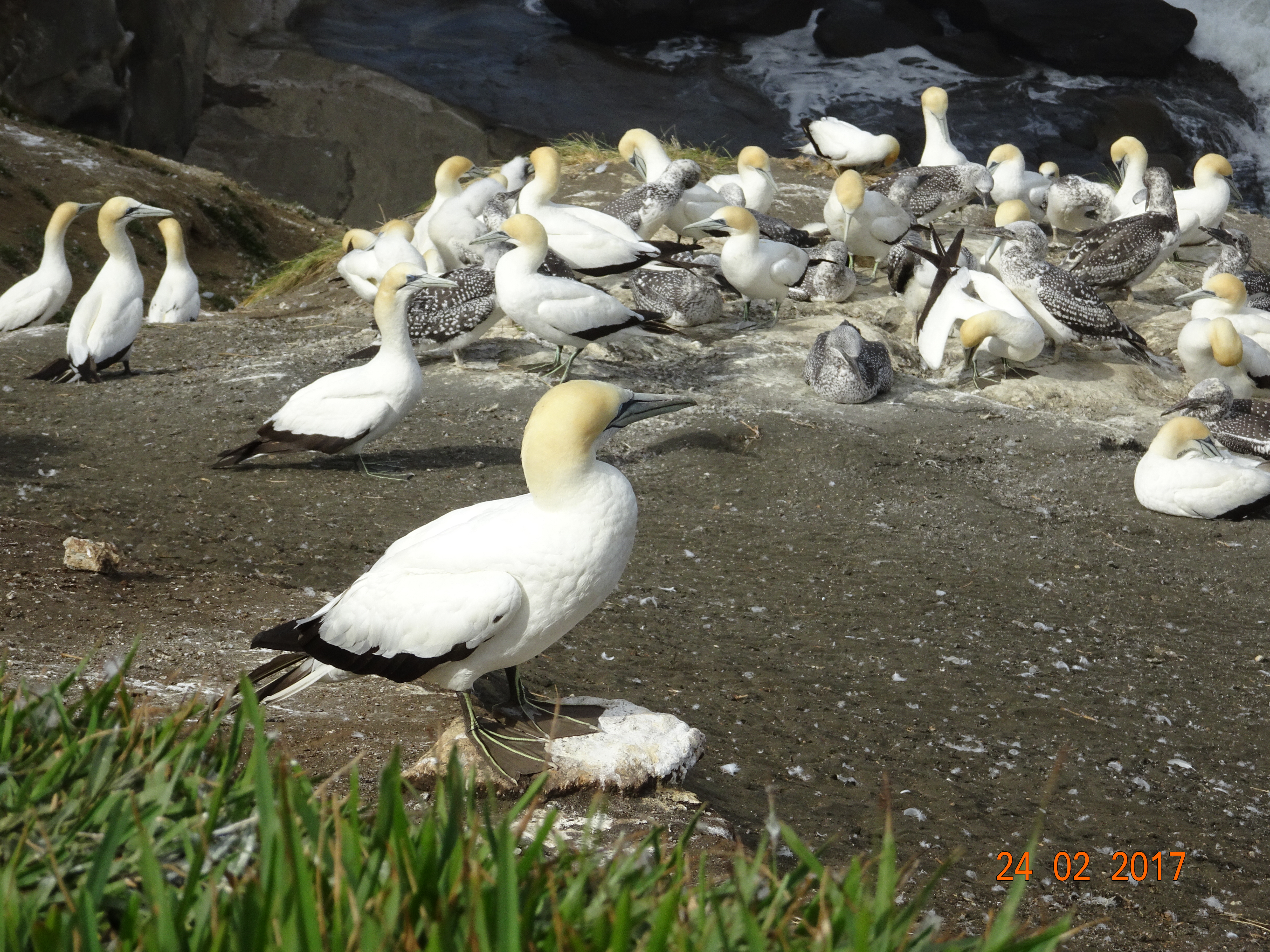
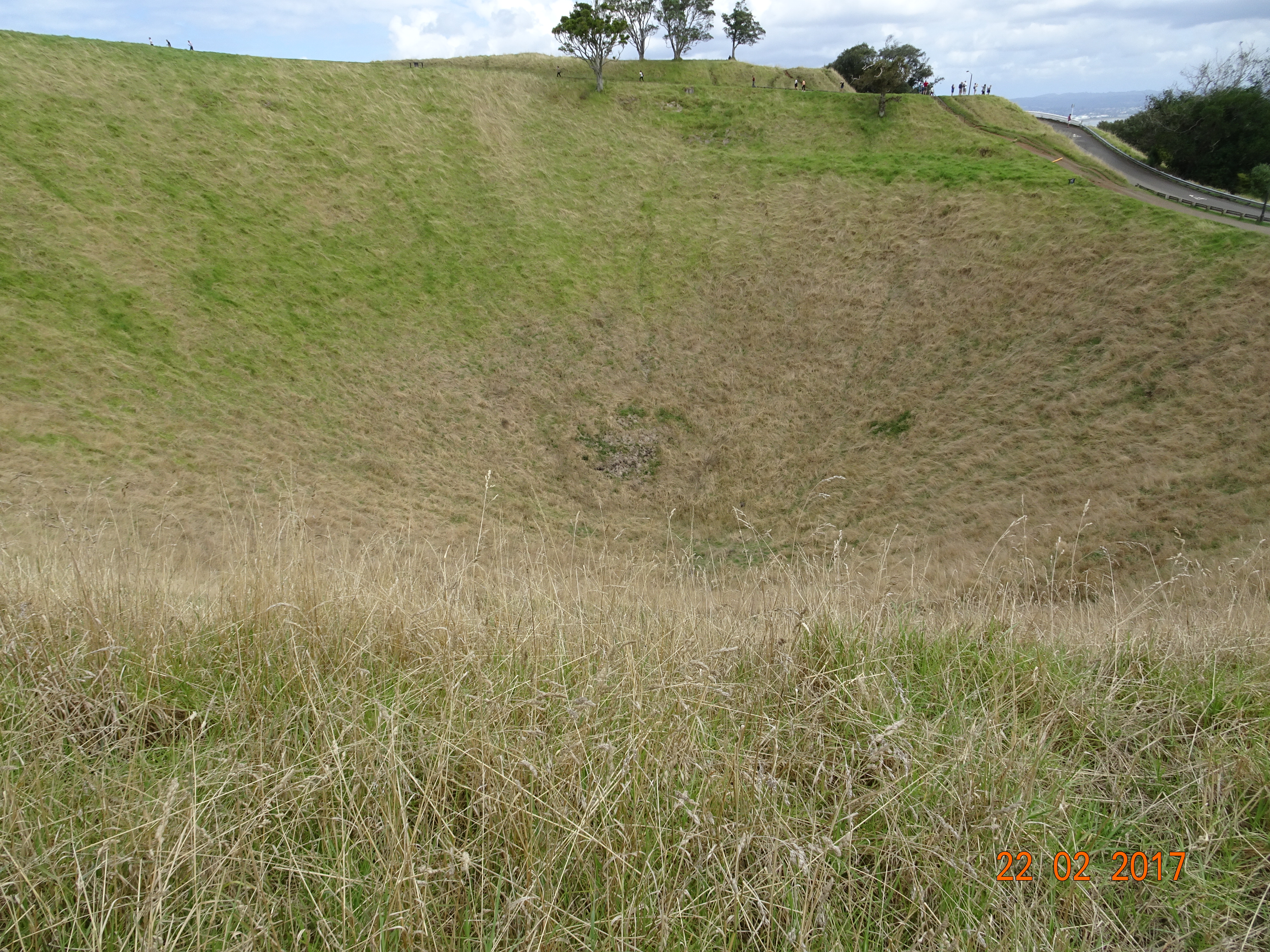
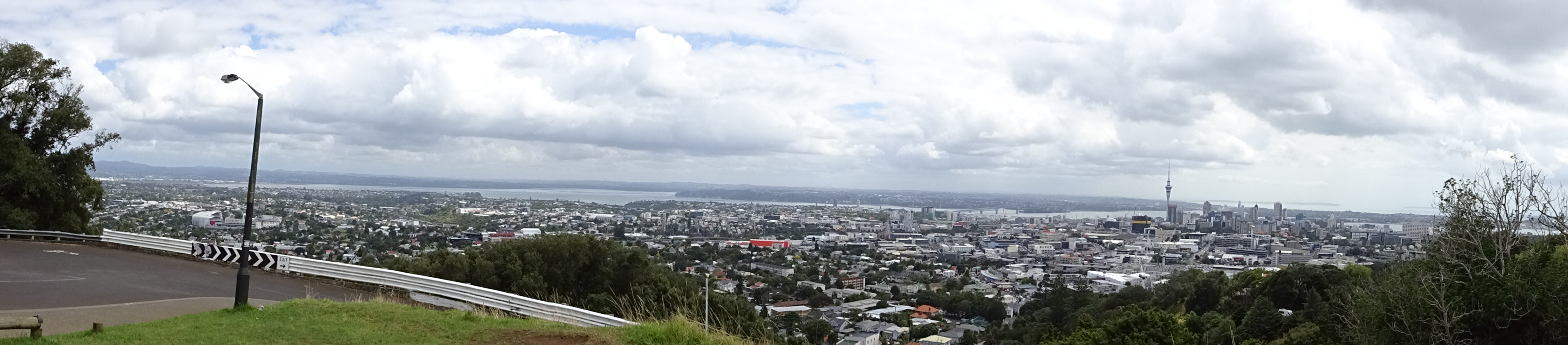
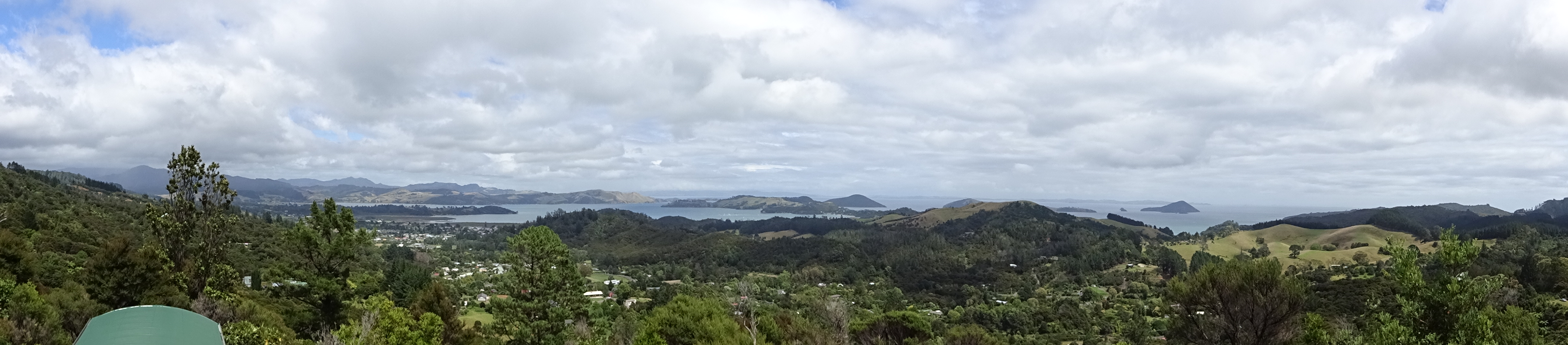
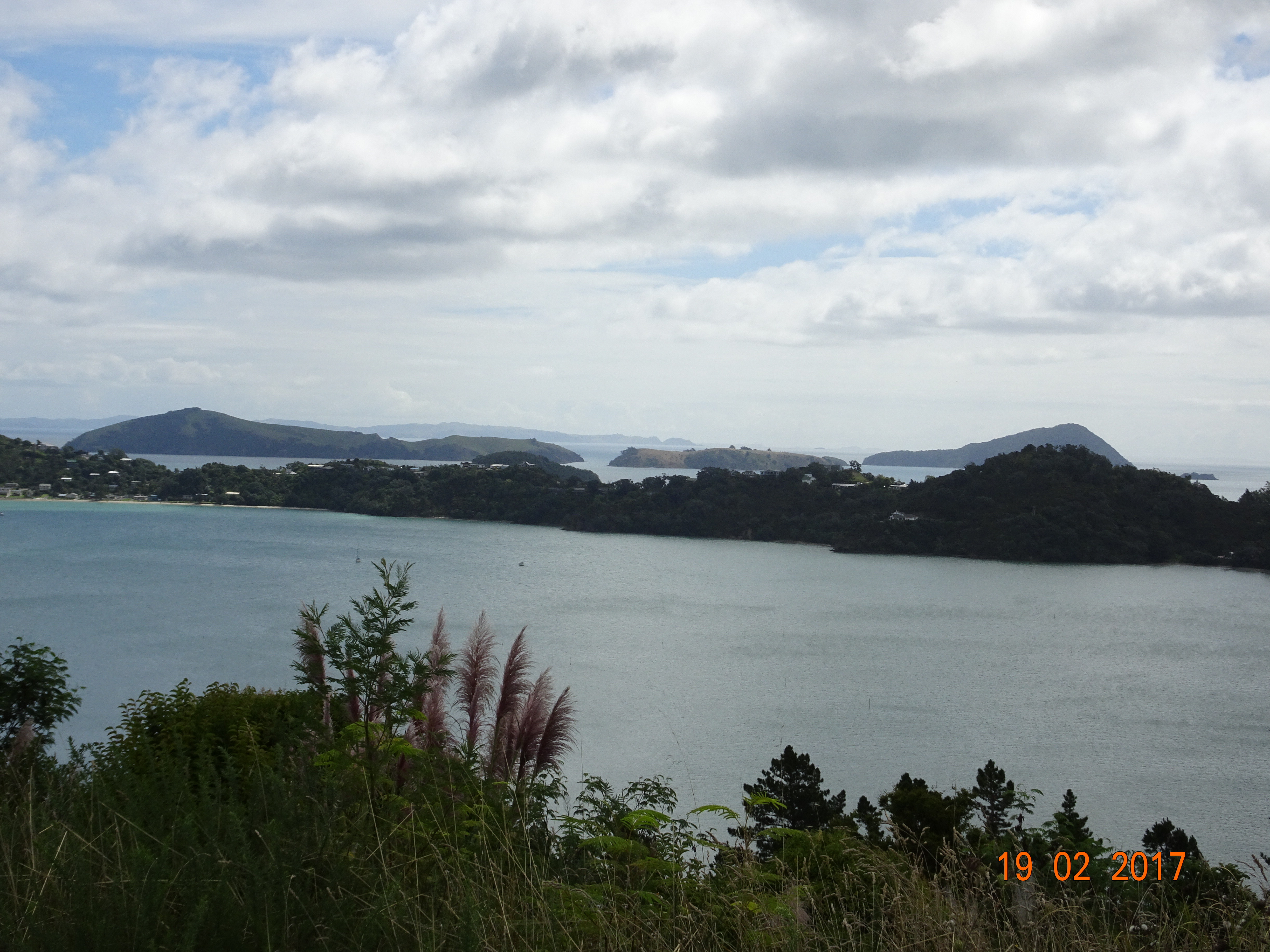
So that’s it.  In 56 days we travelled the length and breadth of NZ, covering around 6,000 km – see our interactive map.  We saw some amazing sights, met some interesting people and enjoyed loads of new experiences.  And now we’re back home planning our next adventure!

A few thoughts on New Zealand

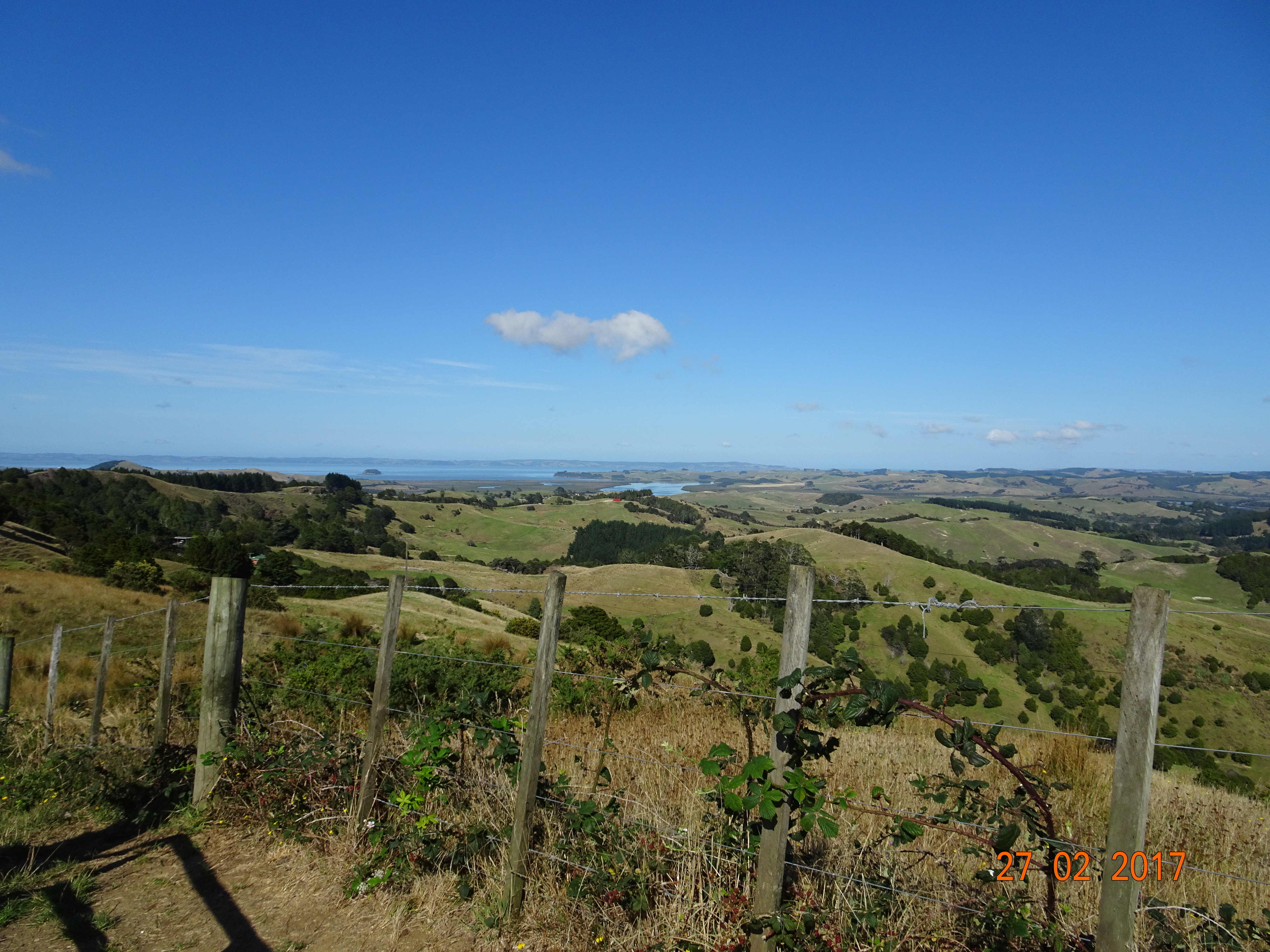
South Island is more campervan friendly than North Island.  Small towns and villages always have a café, generally with free wi-fi, and the streets are wide so parking a 7 metre-long van isn’t a problem.  There are also plenty of picnic areas and other stopping places, although you have to compete with the other vans.  By contrast, a lot of the roads in the North have bypassed the villages and the towns are larger and busier.

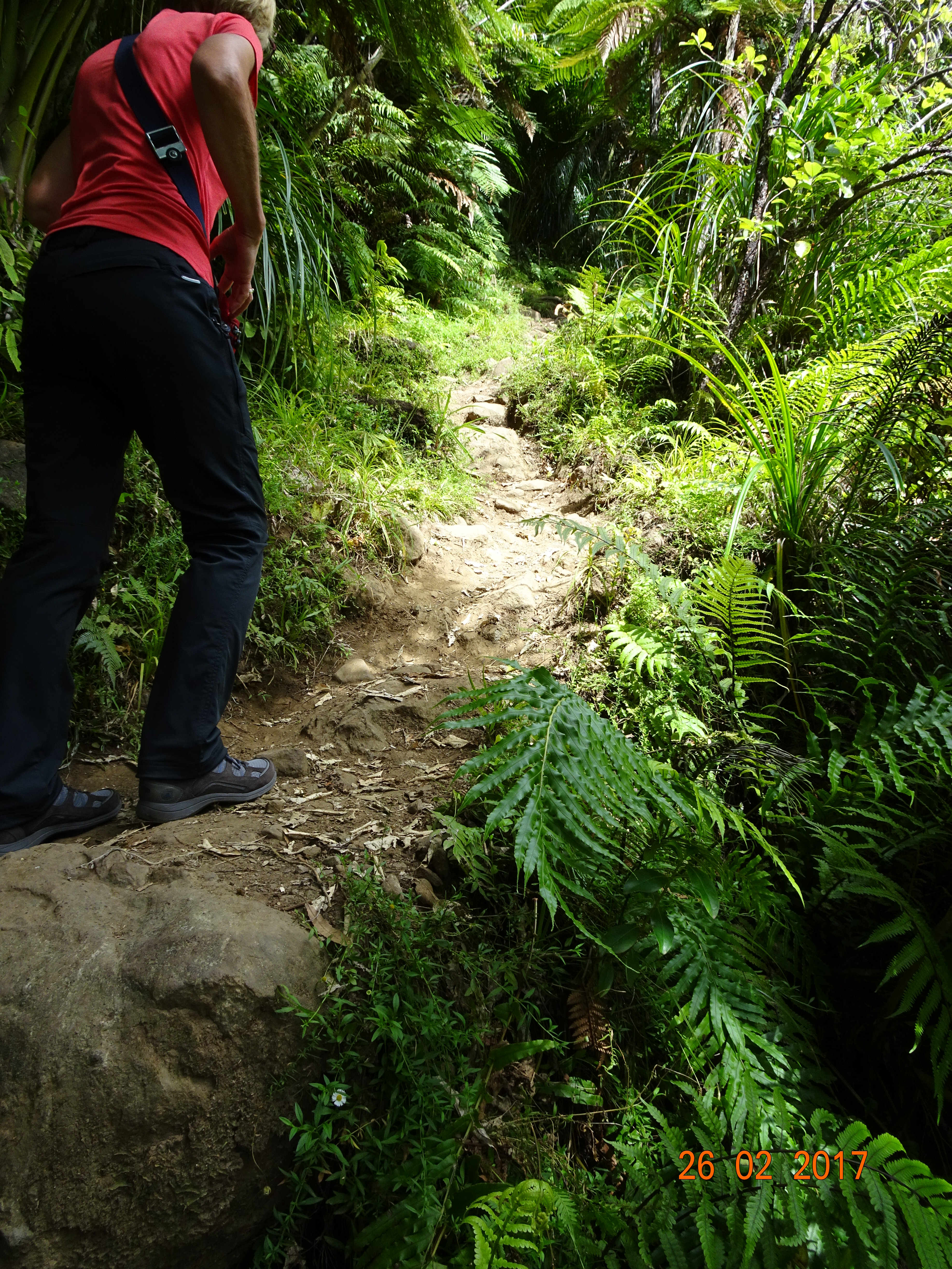
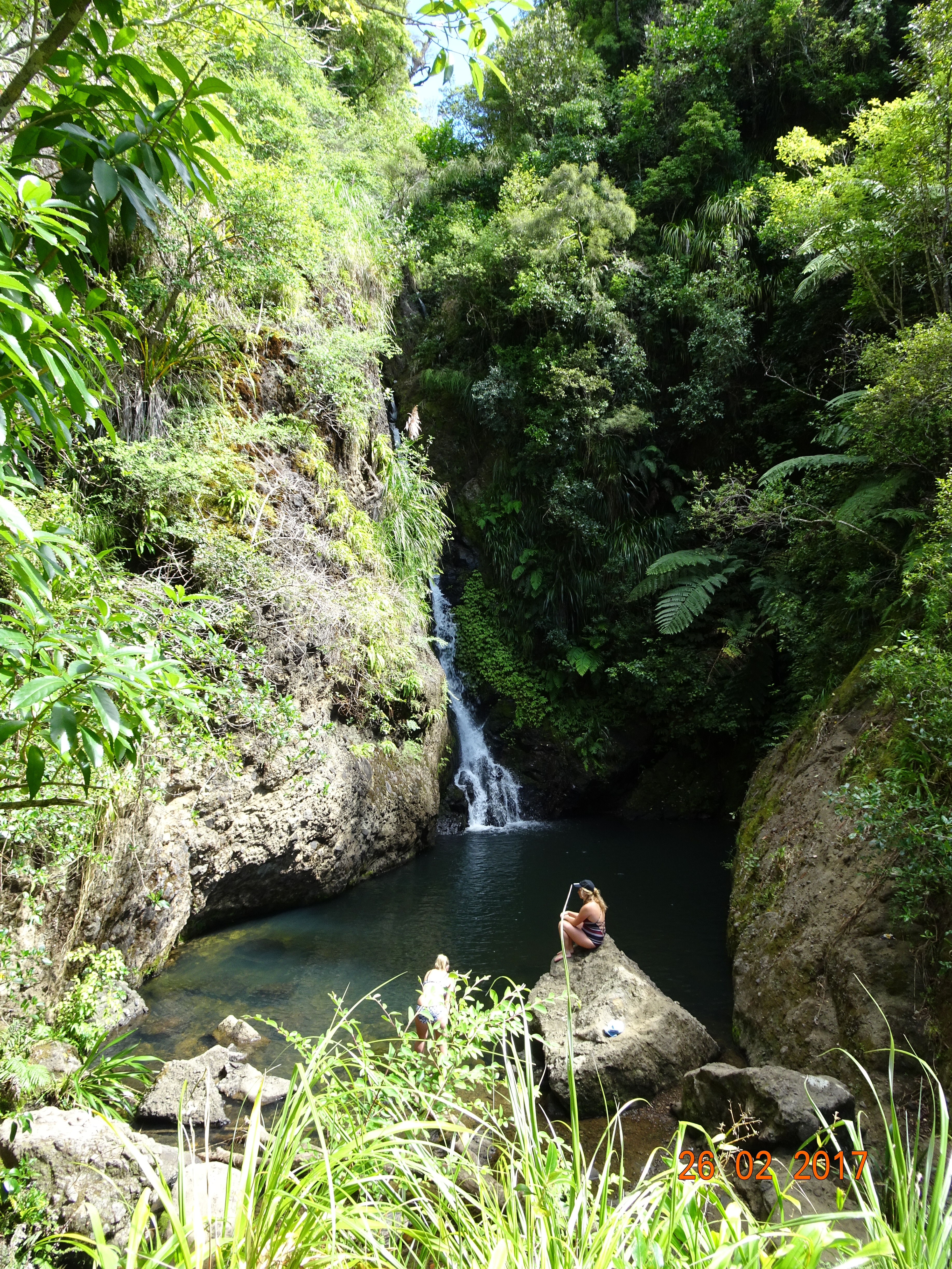
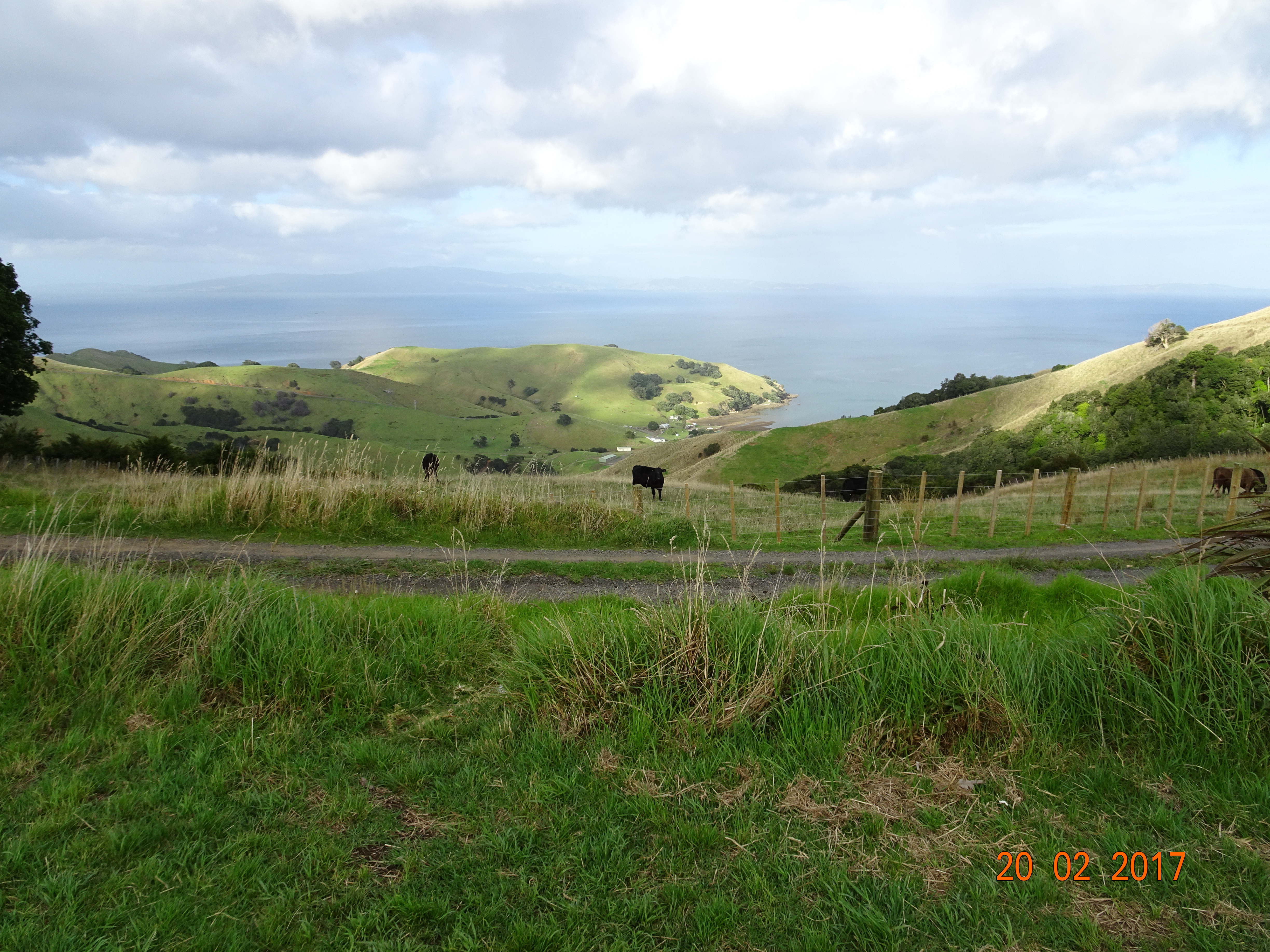
Getting anywhere in NZ takes longer than you expect.  This isn’t just the speed limit or narrow roads.  Around every bend there’s a “Wow” moment, so you keep stopping or drive more slowly to soak in the views.  When travelling, it’s better to have a target for the evening rather than booking ahead and then having to rush.  We found that if you get to a campsite by 4pm you can usually get in, at least in the season we were there.

Wherever you go in NZ you see logging trucks; usually a large, flat-bed truck piled with logs pulling a trailer piled with logs.  And by logs, I mean tree trunks the length of the truck and of various diameters.  We sometimes wondered if the same logs are just being moved all around NZ!

All the buses have bike racks on the front.  Seems like such a great idea, so why don’t we do that over here?

Almost invariably, shower heads are fixed to the wall about 5’ 6” high.  Even I had to bend down to get underneath occasionally.  Don’t tall people shower in NZ?

A car park is a parking space and a motel is a motel room – as in a hotel advertising that it has 34 car parks and 15 motels.

You see lots of old English cars, mainly Morris Minors, MGs and minis, still on the roads and generally immaculate.  There are also lots of Mustangs, of all vintages.  Other than that, most cars are Japanese.

TV ads in NZ are not subtle!  Generally they are like our ads for furniture shop sales – just shouting about how much you can save.

If you deface a bus in Christchurch, you will be fined and trespassed!

I’d love to know the history behind place names like Gout Creek, Imp Grotto, Roaring Swine Creek, The Windbag and Stinky Creek.

Back to Ranui

Back to Ranui

When we booked our motorhome, we arranged to spend our final night at their B&B at Paihia and be driven to the airport the following day.  But the more we thought about it, the less attractive it became – we’d be sitting around for a whole day and then taking a 3.5-hour drive to catch our 25-hour flight.

So we contacted the hire company and arranged to leave Ermintrude at Auckland airport instead – in the McDonalds car park, of all places!  This meant we could spend another couple of days at our favourite campsite at Ranui and then have a 35-minute drive to the airport.

So we left Paihia heading south again on the very hilly SH11.  As we approached Kawakawa, we saw a billboard advertising a vintage railway and the hundertwasser toilet.  We were so intrigued by the concept of a toilet with 100 waters that we had to go and have a look!  It turns out that this is just a “normal” toilet in a building made entirely of recycled materials by an artist called Friedensreich Hundertwasser.  It is the most photographed toilet in NZ and an attraction for tour buses visiting the region!

We joined SH1, which is a pretty good road at this point, apart from the frequent sets of road works.  Deciding it was time for a coffee, we turned off onto a scenic route to One Tree Point.  This was a lovely little village facing onto Parua Bay, with some very spiky hills on the other side.dsc00745

dsc00746

A little further on, we just had to stop again when the satnav told us we were passing Hen and Chickens Islands.  We weren’t quite sure which was which!

dsc00749
Hen and chickens islands – maybe

By the time we got to Wellsford, the road was getting very busy, so we diverted onto the Hellensville road, the one we’d come up on our way north.  We had lunch in an old tavern at Kaukapakapa and got talking to an old guy who’d last been in the pub 50 years ago.  After that, it was a long slog back to Ranui.

Next day at the campsite we joined in a wine trail.  There were four stops around the site at different people’s pitches, with a different game at each one.  At the first, we played “Music for the People”, where the host played a riff and the other players followed – like musical Chinese whispers.  After that we had deck quoits, followed by horseshoe throwing and then a creative hat competition.  This was followed by a BBQ/pot luck dinner, but we’d ducked out by that time.

All this activity on vacation is just too tiring!

Waitangi

Waitangi

Just for a change, we headed west from Rawene, making for Waitangi, on the shores of the Bay of Islands.dsc00744

It was here, in 1840, that a group of Maori leaders signed what is considered to be New Zealand’s founding document.  The Maori gave the British monarch sovereignty over NZ in exchange for the rights and privileges of being British subjects.  The signing took place in a marquee in the garden of James Busby, the “British Resident” at the time.  The house and garden, along with other land, was gifted to the nation in 1932 and is now one of the country’s most important historic sites.

We arrived just in time to jump onto a guided tour of the treaty grounds.  As we walked around, the tour guide included a lot of background information about the treaty, the signing and some of the issues that it provoked.

The first stopping point was a shelter that contains the world’s largest war canoe.  Named Ngātokimatawhaorua, it probably has the world’s longest name for a canoe!  Launched in 1940 as part of the treaty centenary celebrations, it is 35 feet long and can take up to 180 people.  Since 1974, when the Queen designated it HMS Ngātokimatawhaorua, it has been part of the British navy.dsc00719

We then toured the grounds, which are simply stunning, as they look out over the Bay of Islands.  If you’re going to give away your country, this is the right setting for it.  At the spot where the treaty was signed, there is now a flagstaff flying the three official NZ flags; the United Tribes of NZ, the Union Jack and the current NZ flag.dsc00724

(You’re probably thinking, “There’s only two flags”.  There’s something you should know about how I take photos.  Unless I put my glasses on, I can’t see the camera monitor, so I just point the camera in the direction I’m looking and hope for the best.  The third flag is off the top of the picture.)

The tour ended at James Busby’s wooden Residency, which was a prefab.  It was pre-cut in Sydney and shipped to NZ with a set of instructions.  The house was derelict when given to the nation and had to be restored.  A couple of the rooms are how they might have looked in Busby’s time.

I should add that this must be the only tour I’ve ever been on that didn’t end at the gift shop!  Well done Waitangi!

Next to the Residency is a carved meeting house, Te Whare Rūnanga.  Normally, a meeting house faces east, the direction from which the Maori originated, but this faces the Residency to symbolise the partnership between the Maori and the British.  This particular meeting house includes carvings in styles of all the main regions of NZ.dsc00730

At the meeting house, we had our Cultural Entertainment.  This started with a ritual challenge before we were allowed inside, and then featured chanting, dancing and music.  And ended with a photo opportunity!dsc00741

Finally, we walked through the museum, which is one of the better ones we’ve been to in NZ, being laid out to tell the history of the treaty and its consequences.  Which I’m not going to go into here as I don’t know enough about it.

When two seas collide

When two seas collidedsc00704

We left Ahipara fairly early, continuing north on SH1, which is now called the Far North Road.  From Kaitaia, the road went into s-bend mode, which surprised us as it looks pretty straight on the map.  Fortunately, this didn’t last for too long and the countryside opened out again, with long rolling hills.  You could often see the road in the distance, either winding up to the horizon or disappearing into troughs and appearing over summits, like some grey Loch Ness monster.

The further north we went, the less populated the land became.  We saw the odd field of sweet corn, plenty of cattle and fewer sheep.  One thing we weren’t expecting to see was turkeys, but every so often you’d see a group of them foraging at the roadside.

After about 100km the road started climbing again, and the earth on either side was a bright orange colour.  You could see the sea on both sides of the road.  Then, in the middle of nowhere, satnav told us to go straight over the next roundabout!  We’d arrived at Cape Reinga, the northernmost point of NZ.dsc00698

From the car park, a track continues north before dividing; left takes you up to the top of the cliff, right takes you down to the lighthouse.  This is also the point where the Tasman Sea and Pacific Ocean meet.  As they collide, they form eddies and whirlpools, but it was pretty calm when we were there.

dsc00706
Tasman meets Pacific

We’d expected to get a cup of coffee here, but no food and drink are allowed as it’s a sacred place for the Maori – Cape Reinga is the place where spirits leave the land for the afterworld.

It had been a very quiet drive up – only three cars passed us – but by the time we got back to the car park it was starting to fill up.  Driving back south to Kaitaia, there was a steady flow of cars, vans and tour buses heading north.  We were glad we’d started early!

We continued south down the Twin Coasts Discovery, this time taking the scenic route after the Mangamuka Pass to Kohukohu.  From there we caught the car ferry for a 15-minute crossing to Rawene and our stop for the night, the small but perfectly formed Rawene Holiday Park.

dsc00714
Our view

On the road again

On the road again

It was time to get moving, so we said our goodbyes and hit the North-West Motorway, SH16.  Which rapidly became a country lane.  From Helensville the road starts to climb, and when you get to the summit there’s a great view of the sea – and nowhere to stop and take a photo!  This was the best I could do.dsc00676

From here, SH16, or the Kaipara Coast Highway, follows the coastline to Wellsford, where it joins SH1.  This also marks the start of Northland, the northernmost district of NZ.  We have to keep reminding ourselves that in this hemisphere it isn’t going to be the frozen north; here it’s known as the winterless north.

We passed through lots of wide open spaces, with undulating hills, rather than the usual mountains.  Every now and then you come to a bend or the brow of a hill with trees on either side.  Then, as the limit point recedes, this magnificent vista unfurls in front of you and you can see for miles.  It looks like Hobbit country!

At this point, NZ is relatively narrow, and we were on a loop called the Twin Coasts Discovery Highway, that runs up the east side and down the west.  Except that we turned onto SH12 to go up the west side.

We stopped for the night at the Dargaville Kiwi Holiday Camp, which was quite deserted.  Other than some workmen with pickups, who seem to be there permanently, we were the only campers.  We discovered it is cricket season in Dargaville; the toilets and kitchen were full of them!

Dargaville is also the kumara capital of NZ, or maybe the world, depending on which web site you read.  Kumara is the local name for sweet potatoes, and you find them a lot more often that you would in the UK.  We’ve seen kumara in deli salads, smoothies, cakes, crisps, breakfasts, juices and even on their own.  Quite a versatile veggie!

Next morning we continued north, through the same meandering countryside to start with.  It was like driving through a selection of jigsaw puzzle scenes.

dsc00682
Wind-sculpted tree

That is until we came to the Waipoua Forest, where we suddenly found ourselves in a narrow corridor with forest on either side.  It seemed that straight lines had been banned here, because we were in a continual S-bend.  At one point, we thought we’d got stuck in an endless loop as the same two bends seemed to come round over and over!  And no photo opportunities.

Until we got to our first stopping point, Tāne Mahouta, Lord of the Forest.  This is the oldest and/or tallest Kauri tree in NZ, possibly up to 4,000 years old.  (The widest is Te Matua Ngahere, Father of the Forest, which is also in Waipoua.)

You reach it via a short walkway from the road – and there’s a permanent guard at the entrance to make sure nothing happens to the tree.  You come to a point where the walkway widens into a kind of bandstand, and there’s trees all around, but nothing that special.  Then you look to your left and it’s another “Wow!” moment.  This tree is not just huge, it is magnificent!dsc00684

Neither words nor photos can do it justice, you have to go there to see it.  Even though it was partly decapitated in a storm in 2007, it towers over the other trees and you can see the crown above them from the other side of the road.dsc00687

Suitably impressed, we continued up SH12, rejoining SH1 at Ohaewai and on to Ahipara Holiday Park.  This is a lot busier than our last stay, but then it is bigger, warmer and a centre for surfers.

Let’s twist again

Let’s twist again

We decided it was time for another walk, and after consulting Google, fixed on the little village of Huia, west and slightly south of the city.  From there we could take a track to see the Karamatura Falls.

Naturally, there are hilly bits in the way, so round and round and up and down we had to go again.  Some of the road is quite narrow, but it seems to be a commuter belt for Auckland, so the road is in good condition.  One of the problems with all the official web sites is that they don’t give you decent satnav references.  It’s all very well saying the track starts from the Karamatura picnic area, but where the hell is the picnic area?

dsc00673
Huia Bay

After a couple of false starts and photo stops we finally found it and set off into the bush.  Several trails start from this point, so we can actually say we walked the Hillary Trail … except for about 75km of it.

One of the major problems in this area is that the kauri trees are dying back.  Shortly after the trail starts, there’s a gate with a shoe scrubber and spray.  You have to scrape all the soil off your shoes on joining and leaving the trail to prevent the spread of any disease.  From there, an easy gravel trail winds through the bush, ascending gently alongside the river.

This is just a decoy!  After about 30 mutes, the track turns left and loops back to the car park.  However, the falls trail continues straight on, and is literally an earth trail through the bush, including several ascents and descents and some stream crossings – which fortunately weren’t in full flow.  So, round and round and up and down we went again, for another 30 minutes or so.dsc00668

We did meet the odd person coming the other way but mostly it was just the two of us in the deserted bush, totally silent except for the cicadas.  Oh, and a bird that sounds like a car being unlocked!  Finally, in the middle of nowhere, we came to the falls – and there were two women sitting on the rocks, sunbathing.dsc00672

So, we had a good look – at the falls – took a couple of photos and retraced our steps.  Round and round and ….

Rotting fish and cat’s pee

Rotting fish and cat’s peedsc00659

So, we had a change of plan and decided to stay on at our current campsite for a bit longer and do a couple of day trips.  We’ve had mixed feedback about campsites further north and there aren’t a lot of places we still want to see.

Our first day trip was to Muriwai, which is noted for its black sand beaches and its colony of 1,200 pairs of nesting gannets.  We got to the village and then followed the sign pointing to the gannet colony, only to find ourselves heading back inland.  For reasons best known to the tourist board, when you come to the turning into the reserve, there’s no signpost.  If it hadn’t been for the tour buses we would have missed it completely.

The sand is indeed black, and if you enlarge the photo you’ll see it is also a favourite for surfers.dsc00652

At first glance, the gannets look like seagulls, some on ledges below the car park and others on two very steep islands.dsc00656

However, once you get up close, they are very clearly not gulls.  The grey, speckled ones are the young birds.dsc00658

We also learned that gannet colonies stink of rotting fish, so after a couple of minutes we left the tour bus crowd posing for photos and headed back to the village for a coffee.

This is also a good area for wineries, so our next stop was Coopers Creek Winery.  They don’t have too many vines here, but use grapes from all the other grape-growing areas in NZ to make their own product.  The guy was very knowledgeable and enthusiastic and Diane ended up tasting eight different wines before we went out for a walk in their grounds.

We did end up buying the bottle above. It wasn’t one we’d tried, we just liked the name.  The story is that wine writer Oz Clarke once used the phrase to describe NZ wine.  Coopers Creek created this one in response.  You can’t get it in the USA – they had to rename it Cat’s Phee!

Auckland

Auckland

Whichever way you look at it, Auckland is by far the largest city in NZ, and it sprawls from the east to the west coast of North Island.  Looking at the Auckland web site, it seems that the main attractions are shopping malls, restaurants and bars, but after a bit of surfing, we picked out a few places we wanted to visit.

dsc00651
Vanilla, maple syrup and bacon shake

We’re camped not far from the station at Ranui, so we decided to take the train into central Auckland.  They are every 20 minutes outside of peak times, which is a pretty good service.  The station is unmanned, so the only option for buying tickets is to use the ticket machine at the station.  Fortunately we’d done the research and discovered that the main station in Auckland isn’t called Auckland; it’s called Britomart, which sounds like some kind of supermarket.

As at Wellington, we were impressed by the rail service.  The train was more or less on time, very clean and there was no barrier between the three carriages.  The middle carriage is level with the platform and a ramp comes out before the doors open to allow for wheelchair access.  The only surprise we did get was when we got to the penultimate station, Newmarket, where three of the four lines meet – we promptly went into reverse for the final stretch!

Our intention had been to get a map of Auckland from the station, but – unlike every other city, town and hamlet we’ve been to – neither the station nor the i-Site information offices have any.  This was less impessive.

Our first stop was to get a coffee at Viaduct Harbour, but the place was packed and there were long queues in the cafés.  We abandoned that and set out instead for Mount Eden and found a café on the way instead.  We also found the Sky Tower, the tallest man-made structure in Auckland.

dsc00638
Sky Tower

Mount Eden is an old volcanic cone to the south of the city.  It’s about 5km to walk, with the last bit being straight up, but there are supposed to be panoramic 360˚ views of the city.  We got to a disused cabin at the top and were quite disappointed that the vegetation hid most of the views of the city.  Then we discovered the rest of the climb up!  After another climb, we came to the crater itself, which is all overgrown with grass, and after a further scramble to shorten the distance we got to the real summit.

dsc00650
Mount Eden’s crater

And the views were indeed panoramic.  Having said that, pretty much all you can see has been built on unless it’s made of water – and even some of that hasn’t escaped.  We headed down by a different route and suddenly found ourselves in what seemed like an up-market residential area.  We weren’t quite sure which way to go, so we did what we always do in this situation and stood on a corner looking at a map.  Sure enough, someone came along and told us which way to go.

dsc00644
Panorama with Sky Tower

A little further along we came across a guy waiting for a bus and got talking to him.  He said it takes about 20 minutes by bus from there, so we gave up walking and jumped on.

Back in busy Britomart, we went in a different direction looking for a late lunch.  We ended up in Orleans and Racket, sitting at a table outside.  This is how their website describes them:

“Located in the heart of Auckland’s seedy red-light district, Racket truly is a pervert’s delight, with dimly-lit corridors, mirrored ceilings and flimsy second hand locks fitted on all toilet doors. The hastily-assembled wine list is exquisitely complimented by a tiny selection of deep-fried bar snacks, while beer lovers will find two semi-drinkable lagers on tap most weekdays, along with an assortment of whatever was on sale at Super Liquor the previous week. Vulnerable old people and alcoholic solo-mothers are always welcome and Racket is definitely the perfect venue for your next snuff-film premier or Rugby League prizegiving.”

The food was unusual too!  We had their daily special, fried chilli chicken on waffles with maple syrup, accompanied by a vanilla, maple syrup and bacon milk shake.  It tasted better than you think!

After that we decided to skip the other places and head for home.  We really didn’t like Auckland, or at least this part of it.  Unless you arrive on a cruise ship and spend all your money at the harbour it isn’t tourist-friendly – I don’t think we saw one brown sign in the city, and the i-Site was all about paid tours.  On top of that, it’s busy, streets are dirty, pavements are damaged and it’s full of construction sites.  I repeat my comment about hairpin bends!

Karangahake Gorge

Karangahake Gorge

Leaving Coromandel, we had one steep climb up to a glorious view over the bay and across to the opposite shore.  After that, the road remains at sea level, hugging the coastline all the way down to the base of the peninsular at Thames.  It gets very narrow in places, just a ledge above the beach, and some of the bends are so sharp that there are mirrors to warn you of oncoming traffic.

dsc00612
View across the Firth of Thames

When we drove through the Karangahake Gorge last week it was raining, so we didn’t stop.  As the sun was out this morning, we thought we’d return and take one of the historic walks.  Just as we turned into the car park, the rain started!dsc00616

This was a gold-mining area back in the late 1800s.  While it is no longer worked, the legacy of the mines is still there, with ruins and equipment lining all the tracks.  We chose to take the Windows Walk, which has nothing to do with Bill Gates, but is named after the fact that there are openings in the cliff all along the way.  It starts with a couple of cable bridges, which sway alarmingly once you start crossing, then you take a steep climb up some steps to follow the path of the old tramway, some of which has been restored.dsc00624

After that, you walk through part of the old mine workings; they recommended you take a torch for this part, but unless you’ve been eating a lot of carrots, I’d say it was essential!  Along the way there are openings looking down onto the river and track on the opposite side.  A set of stairways takes you back down to the river, which you cross via another bridge and return to the starting point on a path cut into the cliff.

dsc00629
Looking down from a “window”

There are longer walks, including one that takes you through a 1km railway tunnel, but this was enough to give a good feel for this gorgeous gorge.

dsc00634
Looking up at a “window”

The sad thing is that – as elsewhere – the natural eco-system has been destroyed by industry and introduced predators, which has practically wiped out the native birds and animals.dsc00635

From Karangahake we headed north again, meeting up with SH2 and SH1 towards Auckland.  We’d driven on some dual carriageways round Dunedin and Hamilton, but approaching Auckland we came across real motorways for the first time in NZ.  We also came across real traffic jams and diversions!  After the third time that Kate – our SatNav – brought us back to a closed motorway entrance, we managed to break out of the loop and take a circuitous route to Ranui, where our campsite is located.  Give me hairpin bends any day!

The Coromandel Peninsula

The Coromandel Peninsula

Tairua is about halfway up the east coast of the Coromandel Peninsula, which looks like a finger of mountainous land sticking into the Pacific.  From here, the Pacific Coast Highway continues north more or less following the coastline, then cuts across to the west coast to Coromandel itself, before continuing south on the west coast.

As soon as we left Tairua we started climbing, then quickly came back down to the coast.  This was to be the pattern for the day, as the road just crosses any mountain that gets in the way.  We stopped off at Hot Water Beach, where hot water bubbles out of the sand at low tide.  Then we called in to Cathedral Cove for a coffee and an apricot and ginger slice.  We were going to visit the cove, but we discovered it was an hour’s walk from the car park and we needed to get on.

After another hour or so of climbing and descending we found ourselves at the top of yet another peak, but this time with a spectacular view down into Coromandel town.  Which was basking in sunshine!

We made our way to the Driving Creek Railway and Potteries, just north of the town.  Created by a potter named Barry Brickell, this is a 3km narrow-gauge railway that climbs to the summit of a 22 hectare piece of land overlooking Coromandel.  Brickell had no engineering qualification, but over the course of 40 years or so, he surveyed the land and hand-built not only the track but also the rolling stock that travels along it.  And he did it to transport the clay and wood that he needed to create his pottery.

dsc00560
Snake arriving

The route is so steep that there are two places where the train has to change direction to get up the incline.  There are also three tunnels, two horseshoe-shaped curves and a double-level viaduct along the way.  The steepest incline, on a bridge, is 1 in 15, and the track is lined with Brickell’s pottery.

dsc00601
Scary reversing point

The train we took is called Snake as it has two articulated sections that allow it to bend on the sharp curves.  A second train, called Possum, with only a single car, followed us up the track – and preceded us down!  The driver not only has to drive, but also give a running commentary, change points and switch ends when we changed direction.

dsc00606
Terracotta Tunnel

There are several stations along the way, until you finally reach the last station, called Eyefull Tower.  At 165 metres above sea level, you have a panoramic view over the Hauraki Gulf and surrounding forests.

dsc00588
View from Eyefull Tower

If you want to watch a representation of the ride, go to their web site and click Start.  There’s also a lot more information about the building of the railway and about the conservation work taking place on the land.

After that, we checked in to the Top 10 site nearby, then set off to see Coromandel.  Considering the town gave its name to the whole peninsular it is quite an insignificant place. After walking the length of the main street, we took a track up to a lookout point.  You suddenly pop out of the forest at the top and get a fantastic view of the bay and the countryside.  Both on land and at sea, there just seems to be layer upon layer of peaks disappearing into the distance.  Well worth it for the view and for working off this morning’s apricot and ginger slice.

dsc00610
View from the lookout point
Design a site like this with WordPress.com
Get started